-
About Upazila
Upazila Identity
History-Tradition
Geographical & Economic
-
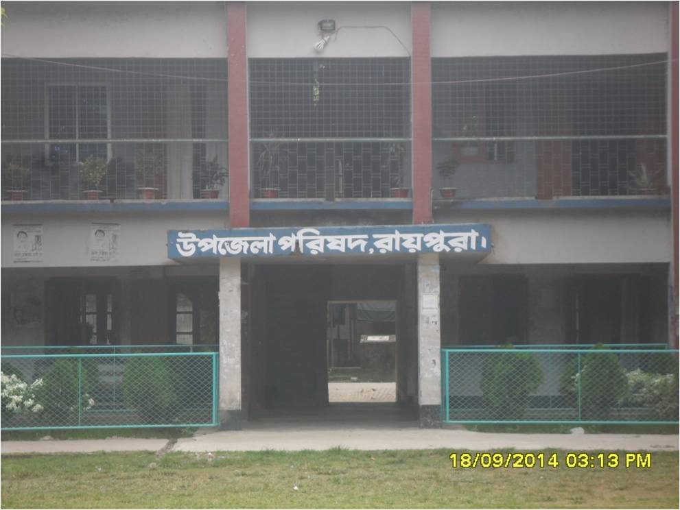
Upazila Parishad
Upazila Parishad office related
List of upazila parishad development projects
Regarding Upazila Parishad monthly general meeting
financial
Various information of Upazila Parishad
-
Upazila Administration
Upazila Nirbahi Officer
About Organogram
Important Information\'s
Services and others
- Municipality
-
Govt. Offices
Matters of law and order and security
Education & Cultural Related
Agriculture, fisheries, animal and food matters
Health & Environment Related
Engineering and ICT Related
Human resource development related
Land & Revenue Related
-
Different Institutions
Educational Institutions
- E-Service
-
Supportive Info
Regarding 17 upazila committees
-
Standing Committee on Finance, Budget, Planning and Local Resource Acquisition
-
Standing Committee on Primary and Mass Education
-
Standing Committee on Health and Family Planning
-
Standing Committee on Public Health, Sanitation and Clean Water Supply
-
Standing Committee on Freedom Fighters
-
Standing Committee on Information and Culture
-
Standing Committee on Women and Children
-
Permanent Affairs of Social Welfare
-
Standing Committee on Market Price Observation, Monitoring and Regulation
-
Standing Committee and Market Price Observation, Monitoring and Regulation
-
Committee on Fisheries and Animal Husbandry
-
Standing Committee on Rural Development and Cooperative Affairs
-
Standing Committee on Youth and Sports Affairs
-
Standing Committee on Environment and Forests
-
Standing Committee on Agriculture and Irrigation
-
Standing Committee on Secondary and Madrasa Education
Upazila ICT Center
-
Standing Committee on Finance, Budget, Planning and Local Resource Acquisition
- Gallery
- Online Hearing
-
About Upazila
Upazila Identity
History-Tradition
Geographical & Economic
-
Upazila Parishad
Upazila Parishad office related
List of upazila parishad development projects
Regarding Upazila Parishad monthly general meeting
financial
Various information of Upazila Parishad
-
Upazila Administration
Upazila Nirbahi Officer
About Organogram
Important Information\'s
Services and others
-
Municipality
Raipura Municipality's own website
-
Govt. Offices
Matters of law and order and security
Education & Cultural Related
Agriculture, fisheries, animal and food matters
Health & Environment Related
Engineering and ICT Related
Human resource development related
Land & Revenue Related
-
Different Institutions
Educational Institutions
- E-Service
-
Supportive Info
Regarding 17 upazila committees
- Standing Committee on Finance, Budget, Planning and Local Resource Acquisition
- Standing Committee on Primary and Mass Education
- Standing Committee on Health and Family Planning
- Standing Committee on Public Health, Sanitation and Clean Water Supply
- Standing Committee on Freedom Fighters
- Standing Committee on Information and Culture
- Standing Committee on Women and Children
- Permanent Affairs of Social Welfare
- Standing Committee on Market Price Observation, Monitoring and Regulation
- Standing Committee and Market Price Observation, Monitoring and Regulation
- Committee on Fisheries and Animal Husbandry
- Standing Committee on Rural Development and Cooperative Affairs
- Standing Committee on Youth and Sports Affairs
- Standing Committee on Environment and Forests
- Standing Committee on Agriculture and Irrigation
- Standing Committee on Secondary and Madrasa Education
Upazila ICT Center
-
Gallery
Photo Gallery
Video Gallery
-
Online Hearing
Admin Login
List of cases
01.
Location and
Size:
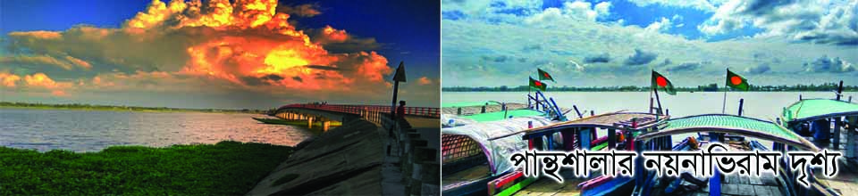
Meghna, Puratanbrahmaputra, Arialkhan and Kankon rivers washed away Raipura is the second largest upazila of Bangladesh in Narsingdi district.
Located in the southeast It is bounded on the north by Belab Upazila, East Kishoreganj and Brahmanbaria Districts, on the south by Nabinagar and Bancharampur and Narsingdi Sadar Upazilas of Brahman-Baria District, on the west by Narsingdi Sadar and Shibpur Upazilas. Location: The distance from the capital Dhaka and Narsingdi district headquarters to Raipura Upazila Sadar is 69 km and 32 km respectively. Its total area is 312.6 sq km Among them, reservoirs and rivers are 43.7 sq km
02.
Geo-nature
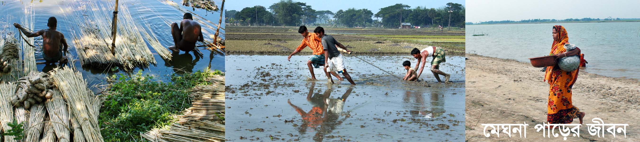
The Raipura region has been known as a Hindu settlement since ancient times. Analyzing the historical basis of the word ‘Raipura’, it is understood that the zamindari of the earlier ‘Ray’ clan predominated as zamindari territories. It is believed that the name 'Raipura' originated from that. Raipura is a paradise land. The Meghna and its tributaries are submerged. The Dhaka-Chittagong railway has gone through this. It is a large range police station. There are six railways inside. The three main rivers of Bangladesh are Meghna, Brahmaputra and Arial Khan. This thana has been composed of a large population since the British rule. It is believed that the British rulers established this police station for the purpose of collecting blue tax. The indigo factory established by them still bears the signature of the British rule in this area. Established in the mid-nineteenth century, the thana is associated with the history of the influence and tradition of the then Hindu zamindars.
03.
General Information of Raipura Upazila
Date of release of Raipura Upazila raiders - 12/12/1971 AD.
Total number of freedom fighters - 1436.
(1) Area = 312.50 km: m.
(2) Population = 4,54,60
(3) Union = 24
(4) Municipality = 1
(5) Gram = 234
(6) Mouza = 113
(8) Ideal village = 03
(6) Telephone exchange = 02
(9) Hats and bazars = 40
(10) Jalmahal = 30
(11) Mosques = 746
(12) Temples = 20
(13) railway stations = 8 (26 km)
(14) Jute mill = 01
(15) Auditorium = 04
(16) Food warehouse = 03
(16) Post bungalow = 02
(16) Rivers = 04
(19) Commercial banks = 20
(20) Literacy rate = 36%
(21) Animal Hospital = 01
(22) Total amount of land = 628 acres
(23) Nursery = 09
(24) NGO = 36
(25) Fisherman = 1421
(26) Number of weavers = 14,400
(26) Eidgah = 151
04.
Regarding educational institutions
Education rate
40.5%
Government College
01
Private colleges
03
Secondary School (Government)
01
Secondary School (Private)
41
Lower secondary school
09
Government Primary School
199
Kindergarten
180
Individual Ebtedayi
07
Dakhil Madrasa
06
Alim Madrasa
02
Fazil Madrasa
03
Qawmi Madrasa
185
Technical School & College (Government)
01
Technical School & College (Private)
01
Primary Teacher Training Center
01
05.
Healthcare:
Government Hospital
01
Private hospital
02
Community Clinic
56
Diagnostic Center
03
Private clinic
04
Union Health and Family Welfare Center
16
Union Health Sub Center
02
Sanitation rate
69%
Number of NGOs
6
Number of places of interest / parks
03
06.
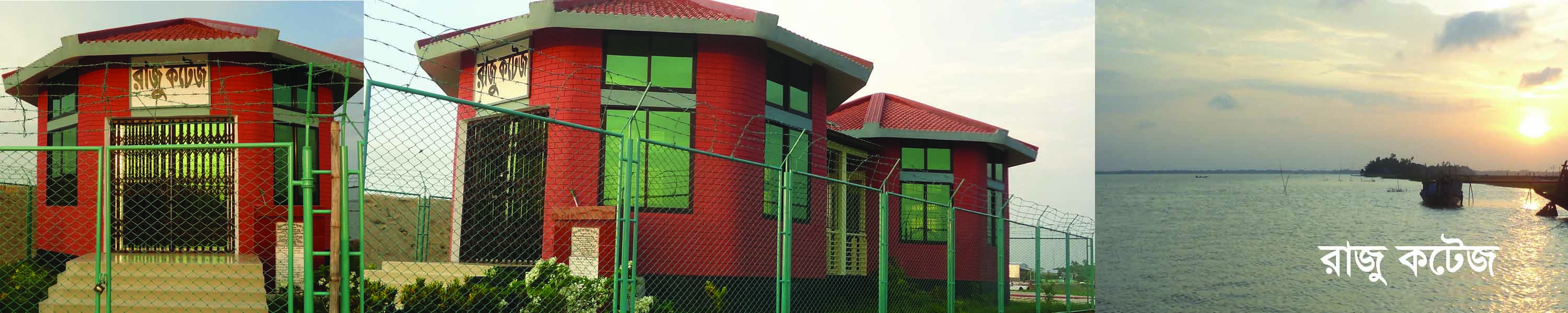
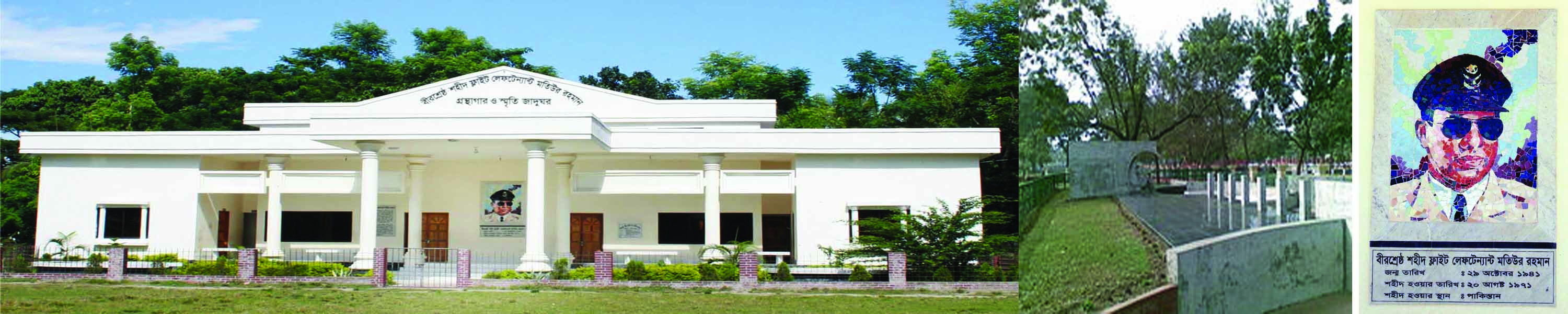
Historical places and prominent personalities
Bir Shrestha Matiur Rahman
Bir Shrestha Matiur Rahman (October 29, 1941 August 20, 1971) was a Bangladeshi freedom fighter. He was killed in the war of independence of Bangladesh. Flight Lieutenant Matiur Rahman is one of the seven heroes who were awarded the highest honor in recognition of their bravery and heroism in the great liberation war of Bangladesh.
Matiur Rahman was born on 29 October 1941 at his ancestral home "Mubarak Lodge" on 109 Aga Sadeq Road in Old Dhaka. His native place is in Musapur union of Raipura in Narsingdi district. Matiur is the 6th among 9 brothers and 2 sisters. His father Maulvi Abdus Sa.


Planning and Implementation: Cabinet Division, A2I, BCC, DoICT and BASIS
Technical Assistance:
![]()
Developed By: